Presentation of eLiteMap technology at the practical conference "Modern Geoinformation Technologies 2024"
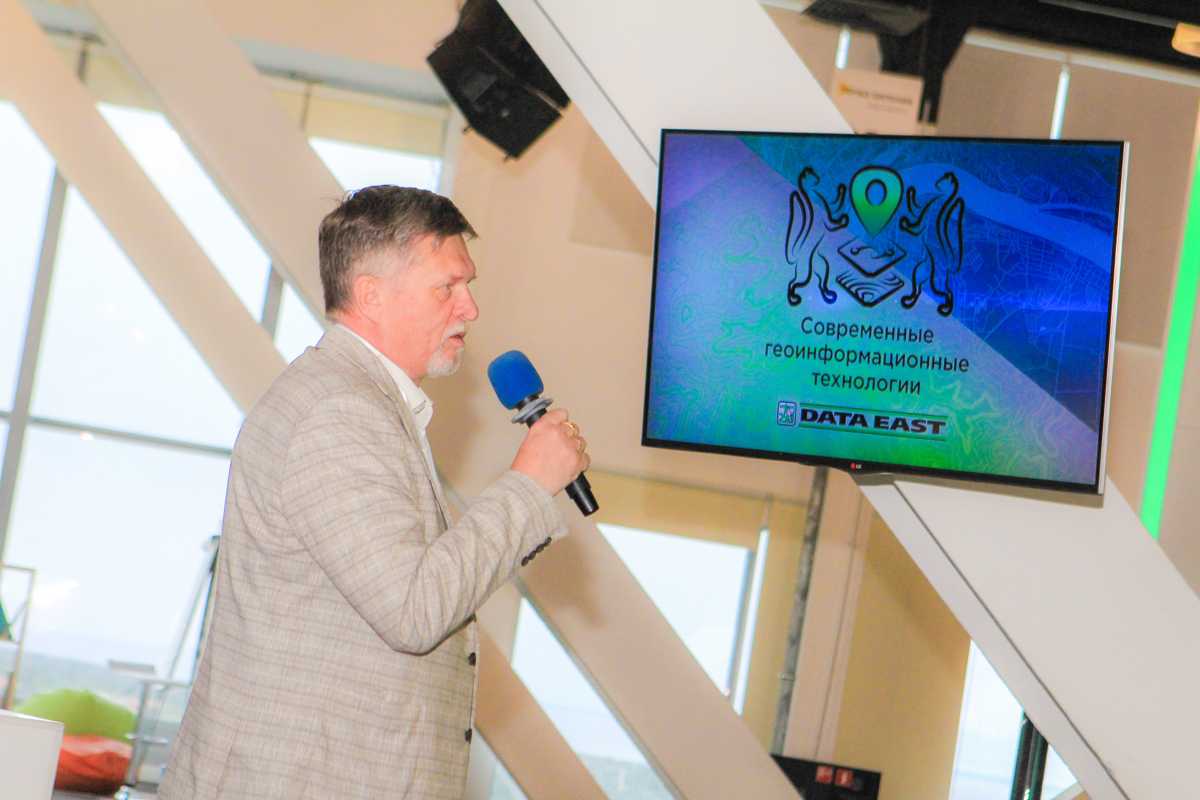
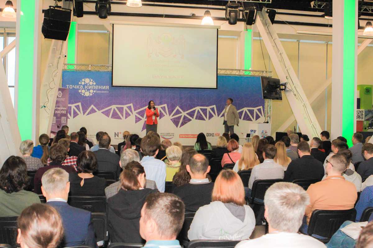
On May 29-30, the practical conference dedicated to geoinformation technologies was held in the Technopark of Novosibirsk Akademgorodok. GIS software products and solutions that can be utilized in various economy sectors were represented during the event.
200 participants from different cities of Russia and Kazakhstan discussed important aspects of the development of geoinformation technologies and import substitution, shared their experience in using platform solutions in the oil and gas industry, agrochemistry, urban management, emergency prevention, environmental monitoring, scientific research, local history, tourism, and other areas.
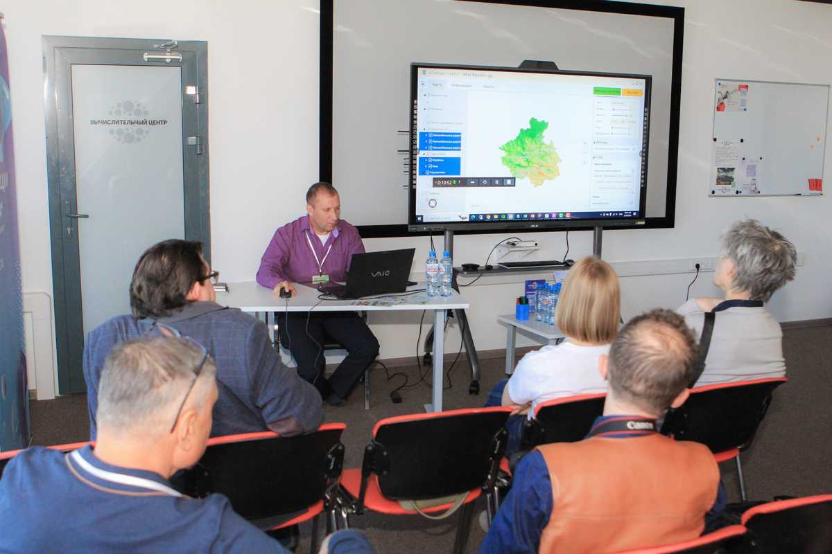
The conference featured a presentation of the eLiteMap technology, which allows you to export professional cartographic projects to mobile devices and work with them in a simple mobile app.
eLiteMap technology consists of the following components:
1) eLiteMap Creator is a tool for creating pre-configured professional interactive offline maps based on your own specialized data with the ability to configure protection against unauthorized access;
2) eLiteMap Creator for CoGIS is an extension embedded in the cartographic projects of the CoGIS platform for creating interactive offline maps in order to solve large-scale business tasks;
3) Free eLiteMap mobile app for work with ready-made maps.
The eLiteMap technology is a set of tools for creating and using interactive maps on mobile devices. The eLiteMap mobile app offers a number of useful and convenient features and is suitable for a wide range of users (including non-GIS specialists). Among the most popular functions were the creation of spatial features (points, polygons), the addition of multimedia attachments, the addition of specialized information to features using QR codes, data exchange with other users, recording GPS tracks, terrain orientation, measurements on the map and much more.
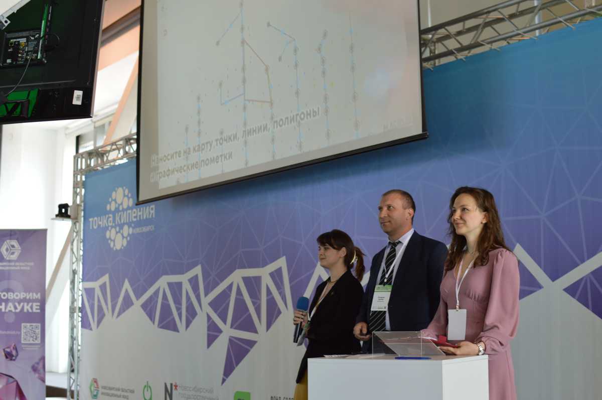
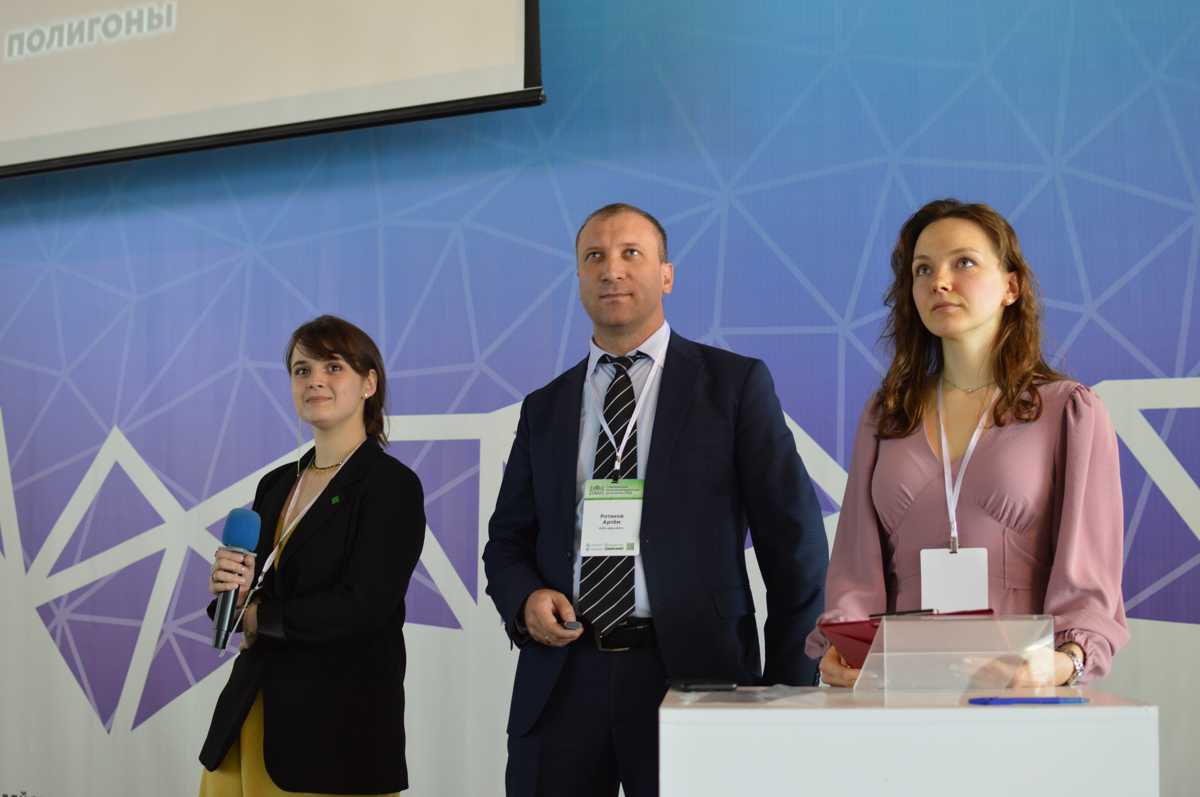
During the conference, a few thematic workshops were held to demonstrate selected capabilities of the technology. For example, the workshop on creating interactive mobile map from cartographic project for offline use and demonstration of map protection options aroused interest among the audience.
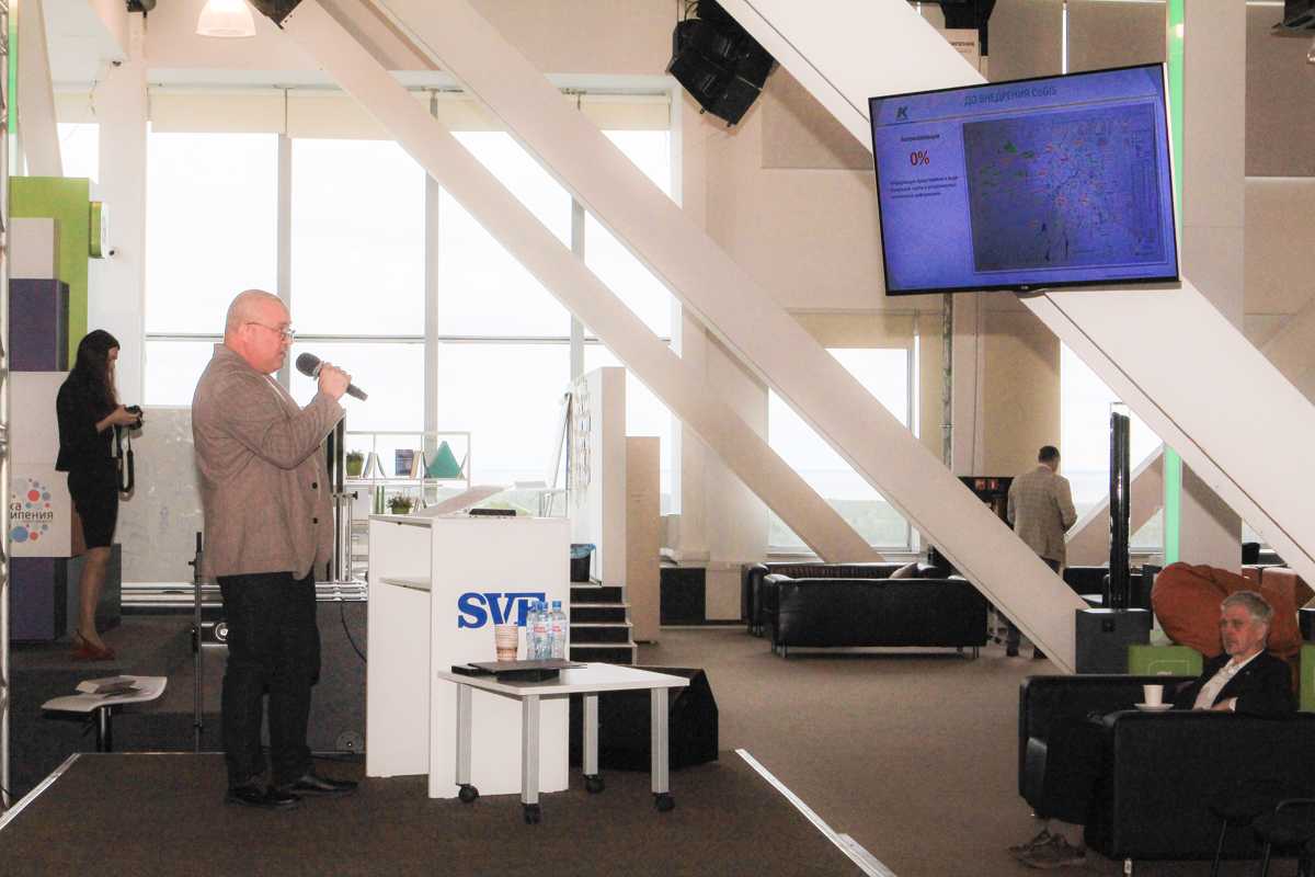
Representatives of the Government of the Yamal-Nenets Autonomous Area, the Government of the Novosibirsk Region and the Novosibirsk City Hall, Novosibirsk National Research State University, the Novosibirsk Agrochemical Service Center, GeoAlert, Intro-GIS, SibGeoClub and other participants shared their experience in using mobile maps in their activity. Evgeny Kotelnikov told about the use of CoGIS platform at the emergency response headquarters of Karachaganak Petroleum Operating B.V. in the Republic of Kazakhstan.
eLiteMap is a great example of technology that allows you to create such mobile maps, and the capabilities of the embedded module eLiteMap Creator for CoGIS allow you to solve the most complex and diverse corporate tasks.
eLiteMap team